Mapping Memories

Explore

Northeast India

Coming from outside the Northeast? City guides, routing and budgets for 130+ Indian cities. Eight states joined to the rest of India by a 22km corridor, which tells you most of what you need to know about how different it feels.

01, States

Where we operate

02, Where we go

Start here
All →
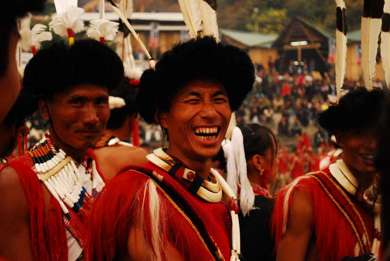
Smiling Konyak Naga elders in traditional dress
Nagaland Kohima
Festival base, hill capital, WWII history.
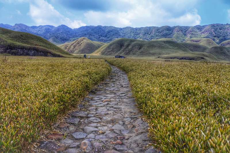
Stone path through golden grass in Dzükou Valley
Nagaland Dzükou Valley
A two-day trek into open grassland.
Khonoma village on its hillside above terraced fields
Nagaland Khonoma
Asia’s first green village, 20km from Kohima.
Plains city landscape, representative of Dimapur
Nagaland Dimapur
The gateway city: airport, rail and the Kachari ruins.
Ao hill-town landscape, representative of Mokokchung
Nagaland Mokokchung
The cultural capital of the Ao Naga.
Ancient village landscape, representative of Ungma
Nagaland Ungma
One of the oldest Ao villages.
Ridge and valley landscape, representative of Wokha
Nagaland Wokha
Lotha country and the Amur falcon roost.
River and reservoir landscape, representative of Doyang
Nagaland Doyang
The river that catches a continent’s falcons.
Sumi hill-town landscape, representative of Zunheboto
Nagaland Zunheboto
The Sümi heartland and its great church.
Konyak hill district landscape, representative of Mon
Nagaland Mon
The land of the Konyak and the tattooed elders.
Border-ridge village, representative of Longwa
Nagaland Longwa
The village where the chief’s house sits in two countries.
Remote high district landscape, representative of Kiphire
Nagaland Kiphire
The Saramati district.
High peak landscape, representative of Saramati
Nagaland Mount Saramati
Nagaland’s roof at 3,840m.
Trek-base village landscape, representative of Thanamir
Nagaland Thanamir
The apple village under Saramati.
Eastern hills town, representative of Tuensang
Nagaland Tuensang
The Chang country of the far east.
Phom hills landscape, representative of Longleng
Nagaland Longleng
The Phom district.
Chakhesang hill landscape, representative of Phek
Nagaland Phek
The Chakhesang highlands.
Cold highland town, representative of Pfutsero
Nagaland Pfutsero
The coldest town in Nagaland.
Zhavame village under Kapamodzü, photo courtesy Tourism Nagaland
Nagaland Zhavame
The wild-flower village under Kapamodzü.
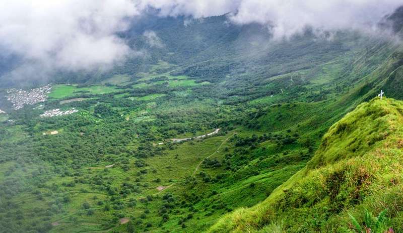
The hike to Kapamodzü Peak under Phek district, photo courtesy Tourism Nagaland
Nagaland Kapamodzü Peak
Nagaland’s tabletop flower peak.
Highland village country under Kapamodzü, photo courtesy Tourism Nagaland
Nagaland Mosen Viewpoint
The sunrise stop on the Zhavame road.
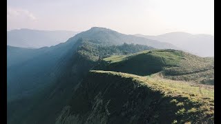
Forested peak landscape, representative of Japfü
Nagaland Japfü Peak
Kohima’s mountain and the Dzükou trailhead.
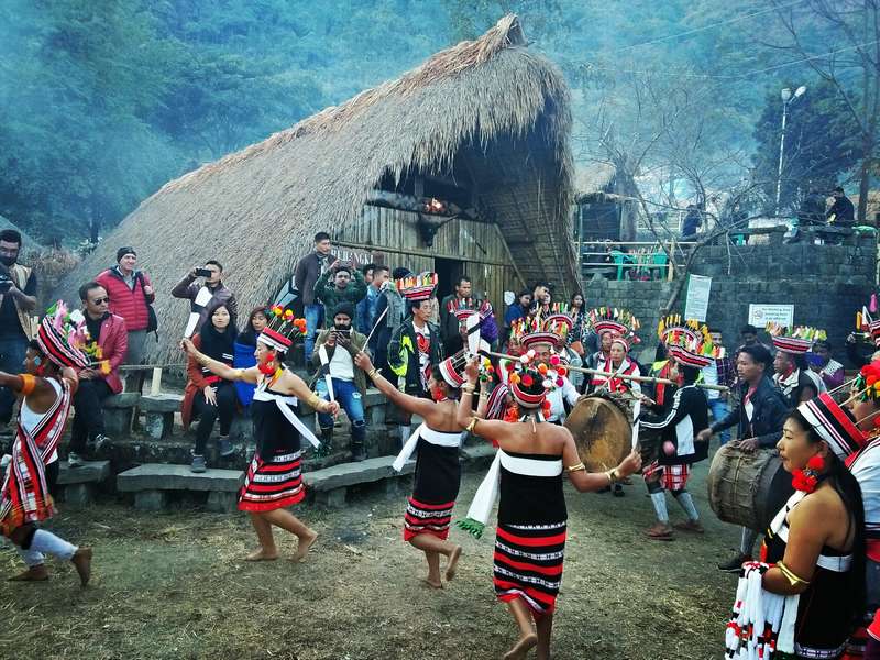
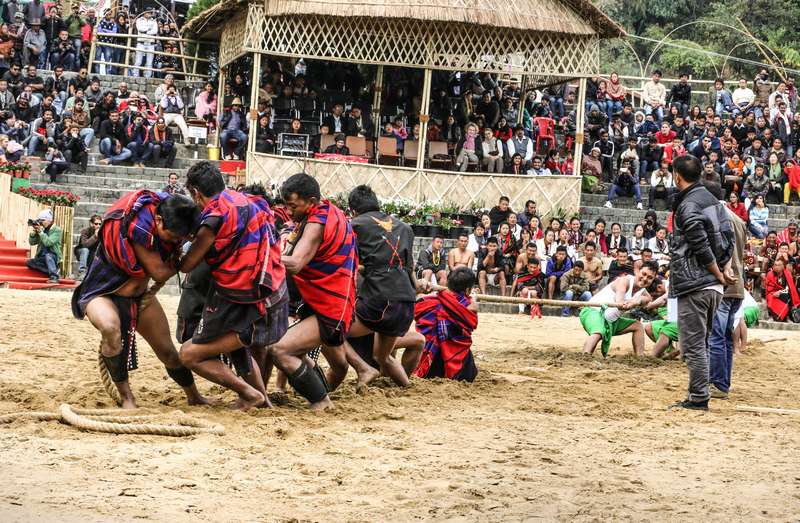
Festival performance on the Kisama arena ground
Nagaland Kisama Heritage Village
The Hornbill ground, morungs of every tribe.
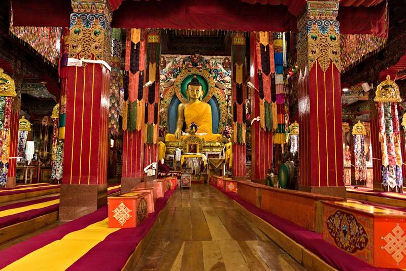
The main temple (Dukhang) of Tawang Monastery, Arunachal Pradesh
Arunachal Pradesh Tawang
A monastery town at the end of the road, 2,700m up, behind Sela Pass.
High mountain pass with lake, representative of Sela
Arunachal Pradesh Sela Pass
The 13,700ft gate to Tawang.
Ridge monastery town, representative of Bomdila
Arunachal Pradesh Bomdila
The monastery ridge town on the climb.
Valley village with hot springs, representative of Dirang
Arunachal Pradesh Dirang
Hot springs, orchards and yaks at 1,497m.
Pastoral valley landscape, representative of Sangti
Arunachal Pradesh Sangti Valley
The crane valley of sheep pastures and pines.
River valley at a state border, representative of Bhalukpong
Arunachal Pradesh Bhalukpong
The border post on the Kameng river.
Orchid research landscape, representative of Tipi
Arunachal Pradesh Tipi Orchidarium
Over 2,600 orchids from 80 species.
Rice terrace valley, representative of Ziro
Arunachal Pradesh Ziro
The Apatani rice-terrace valley that hosts India’s best-loved music festival.
River valley town, representative of Daporijo
Arunachal Pradesh Daporijo
The Tagin country base on the Subansiri.
Siang valley town, representative of Aalo
Arunachal Pradesh Aalo (Along)
The Galo valley town on the Siang.
High valley with wooden bridge, representative of Mechuka
Arunachal Pradesh Mechuka
The forbidden-looking valley 29km from Tibet.
River-plain town, representative of Pasighat
Arunachal Pradesh Pasighat
The Adi town where the Siang enters the plains.
Remote valley town, representative of Yingkiong
Arunachal Pradesh Yingkiong
The Upper Siang headquarters.
Far gorge landscape, representative of Tuting
Arunachal Pradesh Tuting
The end of the road at the great bend.
Valley and lake landscape, representative of Roing
Arunachal Pradesh Roing
The Idu Mishmi valley below Mayudia.
Snowy pass landscape, representative of Mayudia
Arunachal Pradesh Mayudia Pass
The snowy pass on the Anini road.
Remote high valley headquarters, representative of Anini
Arunachal Pradesh Anini
The Dibang valley’s far headquarters.
Lohit valley town, representative of Tezu
Arunachal Pradesh Tezu
The Lohit valley town by the sacred kund.
River gorge pilgrimage site, representative of Parashuram Kund
Arunachal Pradesh Parashuram Kund
The gorge where the sage found release.
Anjaw valley town, representative of Hayuliang
Arunachal Pradesh Hayuliang
The Anjaw valley town on the Lohit.
Forest-edge town, representative of Miao
Arunachal Pradesh Miao
The Namdapha gate on the Noa-Dehing.
Dense rainforest landscape, representative of Namdapha
Arunachal Pradesh Namdapha National Park
India’s wildest biodiversity ark.
Hornbill forest landscape, representative of Pakke
Arunachal Pradesh Pakke (Pakhui) Tiger Reserve
The hornbill forest that pays to protect nests.
Border hills town, representative of Nampong
Arunachal Pradesh Nampong
The Stilwell Road town under Pangsau Pass.
Border pass viewpoint, representative of Pangsau Pass
Arunachal Pradesh Pangsau Pass
The 3,700ft window into Myanmar.
Orange orchard valley, representative of Dambuk
Arunachal Pradesh Dambuk
The orange valley with its own December festival.
Monastery landscape, representative of Namsai
Arunachal Pradesh Namsai
The Khampti Buddhist country.
Golden Theravada pagoda, representative of Kongmu Kham
Arunachal Pradesh Golden Pagoda (Kongmu Kham)
The golden chedi of the Lohit plains.
Ancient temple ruin site, representative of Malinithan
Arunachal Pradesh Malinithan
The buried temple of the lower Siang.
Sacred falls landscape, representative of Akashiganga
Arunachal Pradesh Akashiganga
The sacred falls of the Malinithan legend.
Capital hills town, representative of Itanagar
Arunachal Pradesh Itanagar
The capital of Arunachal.
Plan a trip