
Earn the view at
Kiphire
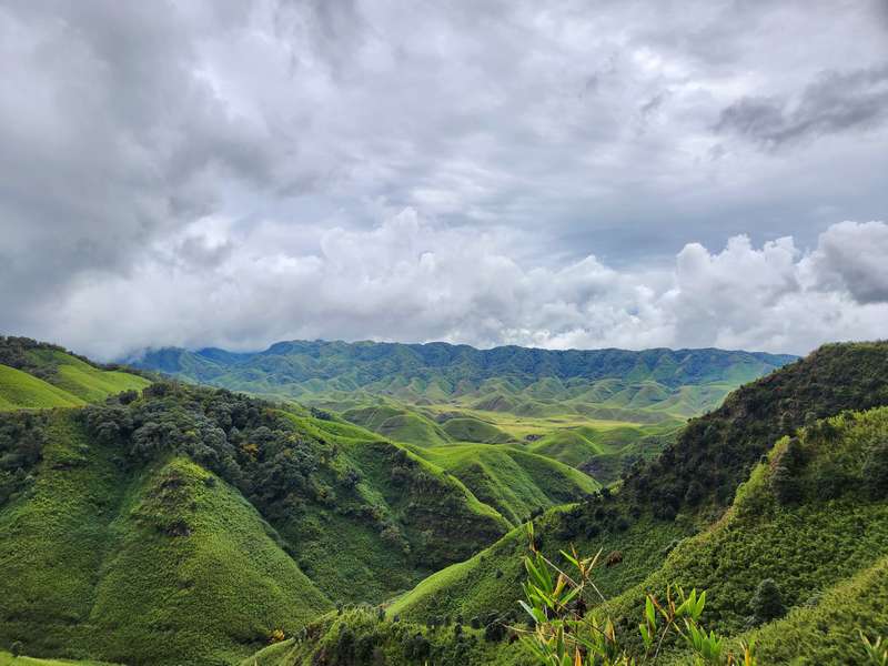
The Saramati district.
- People
- Yimkhiung, Sangtam
- Peak
- Mount Saramati (3,840m) via Thanamir
- From Kohima
- About 250km
Kiphire is Nagaland’s remote southeast, the district that holds Mount Saramati (3,840m), the state’s highest peak: Yimkhiung and Sangtam villages, the Saramati trek base at Thanamir, and long ridge roads that few travellers ever drive.
Quick answers
Kiphire at a glance
Is Kiphire visitable?
Yes, with time and a hardy vehicle; the Saramati trek needs local guides and multi-day planning.
Practicals
Permits & season
ILP required for Indian nationals outside the Hornbill window (waived Dec 1–10 with photo ID), online at ilp.nagaland.gov.in; foreign nationals pay a fee.
October to March is the clean window; December adds the Hornbill Festival, and the monsoon makes eastern roads slow.
When to go
Plan around these months
Nearby
Close enough to combine
Things to do
What you're here for
Thanamir road
The trek-base village under Saramati.
Cave country
Mimi and Salomi caves in the district’s south.
Journal
Read before you go
Guide · 5 min
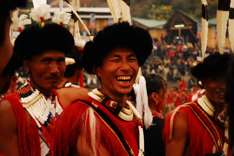
Aoleang Festival: the Konyak festival of Mon, Nagaland
Aoleang Mon Yü is the Konyak tribe's spring festival, held in the first week…
Guide · 7 min
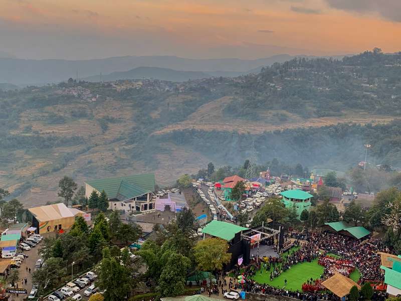
Best time to visit Northeast India, month by month
The best time to visit Northeast India, month by month: weather, festivals, crowds and…
Guide · 4 min
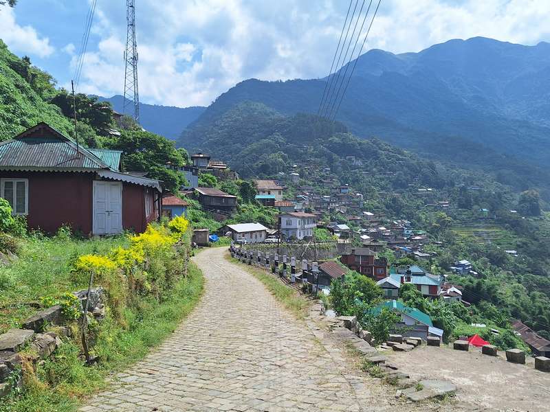
Capital of Nagaland: Kohima, the Hill Capital Explained
Kohima is the capital of Nagaland, not Dimapur. History, why the confusion exists, what…
Guide · 4 min
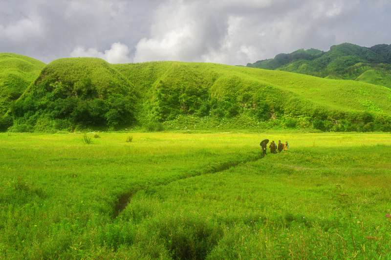
Dzukou Valley in October: green season
Dzukou in October: the valley still green after monsoon, clear October light, trek conditions…
Guide · 6 min
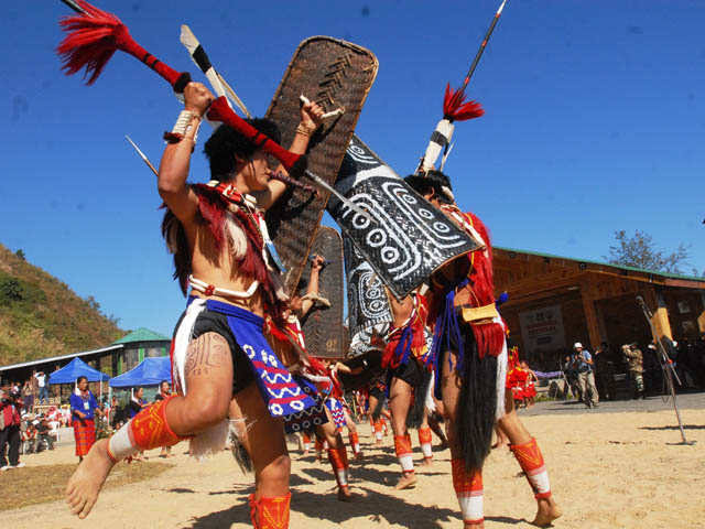
Festivals of Northeast India by month, the full calendar
The month-by-month festival calendar of Northeast India: Hornbill (Dec), Sekrenyi (Feb), Aoleang (Apr), Moatsü…
Guide · 8 min
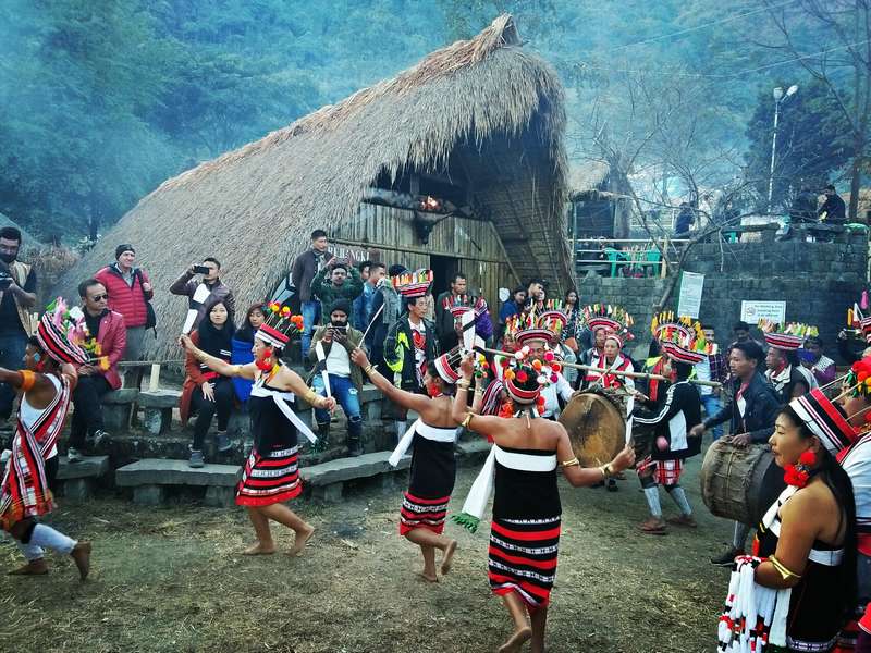
Festivals of Nagaland, the complete calendar
Every major festival of Nagaland, month by month, Hornbill in December, Sekrenyi in February…
More guides in the journal (127 total).
Explore Kiphire
Facts checked against the official Nagaland tourism portal · Last verified 2026-09-26