
Guide · 3 min read
Which states border Nagaland? Neighbours
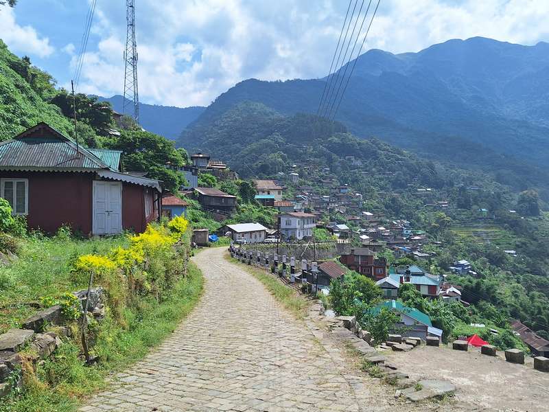
Nagaland borders four entities: Assam to the west, Arunachal Pradesh to the north, Manipur to the south, and the country of Myanmar to the east. Nagaland does not touch China, though the border country feels frontier-remote, especially in Mon and Kiphire districts.
The neighbours, one by one
- Assam (west): the everyday border. Dimapur, Nagaland’s gateway city, sits on the Assam side’s edge, and the 74km climb to Kohima crosses from plains to hills. The ILP checkpoint lives on this line.
- Arunachal Pradesh (north): hill-to-hill border through Naga and other tribal country; travellers cross it on the Mon district roads from Sapekhati or the interior links toward Longleng.
- Manipur (south): the old Kohima-Imphal road crosses this border through the Senapati hills; read our status-first Manipur guide before planning that drive.
- Myanmar (east): a long international frontier through Naga-inhabited hills. Longwa village in Mon district is the famous sight: the hereditary chief’s house sits across both countries.
Quick answers
Does Nagaland share a border with China? No. The closest Chinese border is Arunachal Pradesh’s, one state away to the north-east.
Does Nagaland border Myanmar? Yes, along its entire eastern side; the Longwa village guide covers what visitors can and cannot do at that line.
Which Indian states share boundaries with Nagaland? Three: Assam, Arunachal Pradesh and Manipur.
Where is Nagaland on the India map? The far north-east, south of Arunachal Pradesh, east of Assam, north of Manipur, west of Myanmar. Our where-is guide maps it fully.
Coming this December for the Hornbill Festival? Message us and we will handle the permits, the climb and the beds.
Planning a trip like this?
We build itineraries around your dates, group and budget, a real person replies with an honest price.