Guide · 6 min read
Where is Nagaland? Location on the India map, borders & how to reach
Quick answer: Nagaland is a small hill state in the far northeast of India, tucked between Assam and Myanmar. Its capital is Kohima, its gateway city is Dimapur (the state’s only airport and railway station), and it became the 16th state of India on December 1, 1963. Yes, it is fully part of India.
Where is Nagaland on the India map?
Find the Indian map, look at the small cluster of states in the top-right corner, the Northeast, and Nagaland is one of the “seven sisters” there. Specifically:
- West and north: Assam, on all sides the practical gateway (Dimapur sits right on the Assam border)
- North: Arunachal Pradesh
- South: Manipur
- East: Myanmar, the international border runs along the Naga hills’ ridgelines, and the Konyak village of Longwa famously straddles it
It is a compact state, you can drive across much of it in a day, but almost entirely hilly: Kohima sits at about 1,400m, and the highest peak, Mount Saramati (3,840m), rises in the east near the Myanmar border. See our Nagaland quick facts for the state at a glance.
Is Nagaland part of India?
Yes. Nagaland became the 16th state of the Indian Union on December 1, 1963, with Kohima as capital. Before that it was the Naga Hills district of Assam under British administration and, after 1947, part of Assam. Statehood followed the 16-Point Agreement between the Government of India and the Naga People’s Convention, and the state enjoys special safeguards under Article 371A of the Indian Constitution, which protects Naga customary law and land ownership. An Inner Line Permit governs entry for Indian nationals, a colonial-era travel rule still in force, not a border.
When was Nagaland formed, and why that date matters
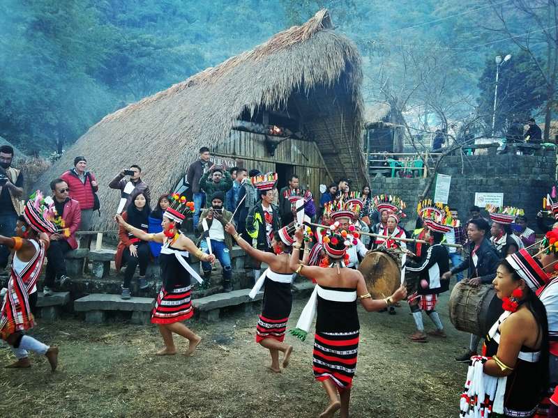
Statehood came on December 1, 1963, and that is exactly why the Hornbill Festival opens on December 1 every year: the festival’s first day doubles as Nagaland’s Statehood Day celebration. Ten days later, on December 10, it closes. If you come for the opening ceremony, you are watching the state celebrate its own birthday.
How to get there
- Fly: into Dimapur (DMU), daily connections via Kolkata, Delhi and Guwahati. Dimapur is the only airport in the state.
- Train: Dimapur is also the railhead, on the main line from Guwahati.
- Road: Dimapur → Kohima is 74km, about 3 hours of climbing into the hills. Guwahati → Kohima is roughly 340km (a long day’s drive).
- Permit: Indian nationals arrange the ILP online before travel; foreign nationals register on entry. Full walkthrough in our ILP guide.
What the landscape feels like
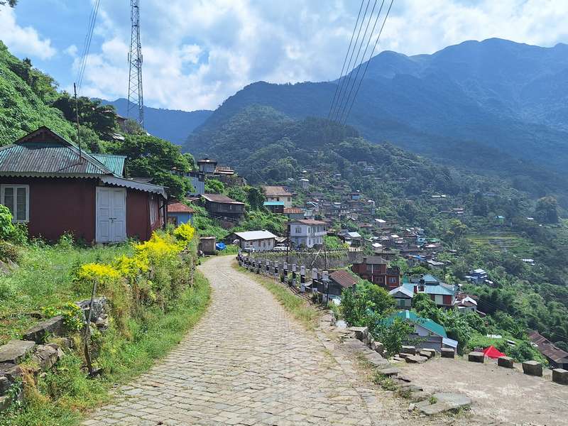
Green ridgelines stacked on ridgelines, terraced fields climbing around villages like Khonoma, and valleys that hold cloud till mid-morning in winter. December is dry, sunny and cold at night, the best travel month, and not by accident the festival month. The full journey logistics are in how to reach Hornbill Festival 2026, and our packages from ₹3,999 start from Dimapur with everything included.
Planning a trip like this?
We build itineraries around your dates, group and budget, a real person replies with an honest price.