
Getting there
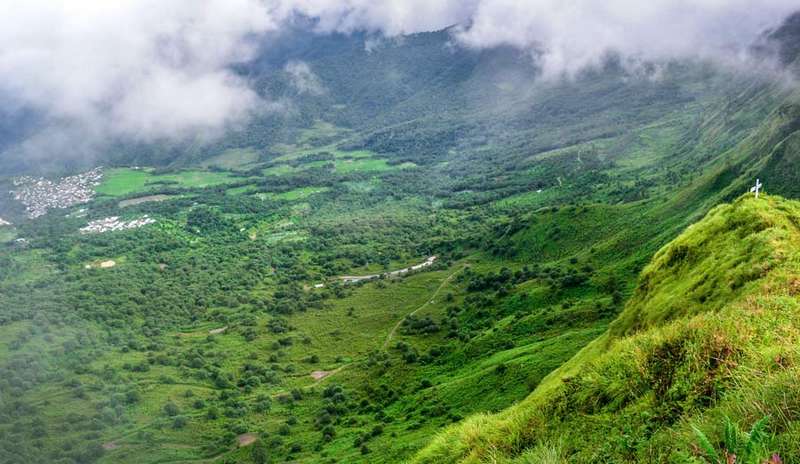
Pfutsero to Kapamodzü Peak
About 25km to Zhavame base village, then the guided climb to the tabletop; the state guide allows about an hour on foot.
Modes
How the trip works
Road
Road is how everything beyond the gateways actually works: shared taxis, private cabs and state buses.
The honest notes
Before you go
Hill roads in the Northeast run on daylight and weather: start early, keep buffers, and never plan a tight connection on the same day as a mountain drive. Monsoon (roughly June to September) brings landslide-prone stretches on most hill routes; the dry months move faster.
Fuel and cash up before leaving the big gateway towns, network coverage thins with altitude, and a driver who knows the road is worth more than any vehicle class.
Around this route
Plan it
Want this road handled?
We run these roads all season: vehicles, drivers, permits and honest timings. Tell us your dates.
Keep planning
- Pfutsero travel guide
- Kapamodzü Peak travel guide
- Flying into Dimapur Airport: flights, cabs and onward connections
- Dimapur Railway Station railway station: trains, cabs and onward connections
- Aoleang Festival: the Konyak festival of Mon, Nagalandfrom the journal
- Best time to visit Northeast India, month by monthfrom the journal
- Capital of Nagaland: Kohima, the Hill Capital Explainedfrom the journal
Route and permit facts checked against official state tourism sources · Last verified 2026-09-26
Ask us anything about this trip
Dates, seats, prices, the road today. A real person replies on WhatsApp, usually within hours, and that conversation is the only way we book.
Message us