Guide · 5 min read
Why Google Maps is wrong in Northeast India, and how to plan around it
Quick answer: In the Northeast, Google Maps is optimistic by 30–100% on hill routes, and sometimes flatly wrong: phantom shortcuts down farm tracks, missing ferry timings, routes through networks dead zones. The local rule: multiply every hill ETA by 1.5, add a buffer day per remote leg, and never let an app choose between two roads it has no data for.
Why the map lies here
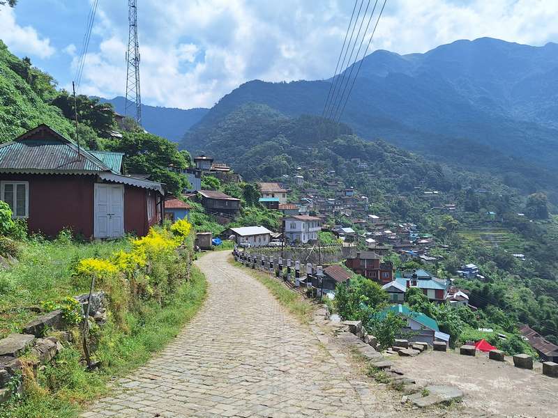
- Terrain math: 60km of valley road and 60km of switchback are the same distance to the app. Hill roads average half the speed, with stops for herds, landslides and checkposts.
- One road, no alternatives: many destinations (Tawang, Mechuka, Longwa) sit at the end of a single road. When it closes, the app happily reroutes you through a track that isn’t one.
- Ferries: river crossings (Majuli’s Nimati Ghat, others) run on daylight, water level and demand, none of which the app models. Missing the last ferry means an unplanned town night.
- Dead zones: the route may be mapped; the network along it is not guaranteed. Offline maps help you navigate; they don’t help you call for help.
How much buffer to keep
- Valley/Assam legs: add 25%.
- Hill legs under 2,500m: add 50% (Dimapur → Kohima “3h” = plan 4–5).
- High passes (Sela-class): add a day, not a percentage, closures are a season feature.
- Remote legs (Mon, Mechuka, Anini-class): one full buffer day, plus a driver who knows the road.
How locals actually plan
Morning starts, every day, the hills’ weather and light punish afternoons. Two stops a day, maximum. Fuel when you see a pump. Ask at the last town: “road theek hai?” is worth more than any ETA. And book the first night’s stay before leaving, arriving somewhere dark and networkless without a room is a self-inflicted wound.
What we do differently
Our packages don’t promise map ETAs, they promise the route, with drivers who’ve done it a hundred times and itineraries with air in them. That’s the entire difference between a Tawang trip that works and one that fights the map. Plan with us: WhatsApp.
Planning a trip like this?
We build itineraries around your dates, group and budget, a real person replies with an honest price.