Acclimatise in
Gangtok
The capital on the ridge, base for every Sikkim circuit.
- Altitude
- About 1,650m
- From Bagdogra
- About 120km
- Role
- Permit + tour base
- Monasteries
- Enchey, Rumtek (nearby)
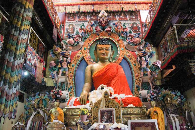
Gangtok, the state capital, stacks down a ridge at about 1,650m: pedestrian MG Marg, the Enchey monastery, Rumtek an hour out, and the cable car over the town. It is also where every permit gets arranged: Nathula and North Sikkim trips book through registered agencies here.
Official seasons: spring and autumn are the big windows, and the monsoon brings blocked roads and flight delays in heavy weather.
Quick answers
Gangtok at a glance
How many days for Gangtok?
Two for the city and Rumtek, plus 2-3 each for the Nathula-Tsomgo day-circuit and the North Sikkim loop.
Do I book North Sikkim from Gangtok?
Yes: protected-area trips run through registered agencies with vehicle and permit bundled.
When to go
Plan around these months
Nearby
Close enough to combine
Things to do
What you're here for
MG Marg
The pedestrian square that anchors every evening.
Rumtek
One of the largest monasteries in India, an hour away.
Permit desk
Nathula and North Sikkim trips are arranged here.
Facts checked against the official Sikkim tourism portal · Last verified 2026-09-26