Walk under
Dehing Patkai
Upper Assam’s rainforest, coal towns and the old war road.
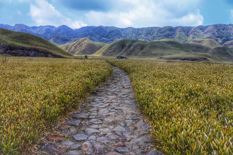
- Type
- Lowland rainforest belt
- Wildlife
- Elephant, hornbill, gibbon
- Heritage
- Coal towns, Ledo-Stilwell road
- Gateway
- Dibrugarh / Tinsukia
Dehing Patkai is the rainforest belt of Upper Assam, a landscape of evergreen forest, coal-town heritage and the old Ledo-Stilwell road to Myanmar. Elephants and hornbills move through it; the Jeypore forest block is the classic birding walk.
Pair it with Margherita’s coal museum, Namphake’s Tai-Phake Buddhist village and Digboi’s oil heritage for a full Upper Assam loop.
Quick answers
Dehing Patkai at a glance
What pairs with Dehing Patkai?
Namphake monastery, Digboi refinery and the Dibru-Saikhowa boat safari, all within a day of each other.
When to go
Plan around these months
Nearby
Close enough to combine
Things to do
What you're here for
Jeypore forest walks
Rainforest birding with a local guide.
The war road
Ledo, where the Stilwell Road to Myanmar began.
Facts checked against the official Assam tourism portal · Last verified 2026-09-26